
boboneleg
-
Posts
13,678 -
Joined
-
Last visited
-
Days Won
208
Content Type
Profiles
Forums
Events
Everything posted by boboneleg
-
Found a farm with an honesty box , no dogs though

-
Are you there today then ?
-
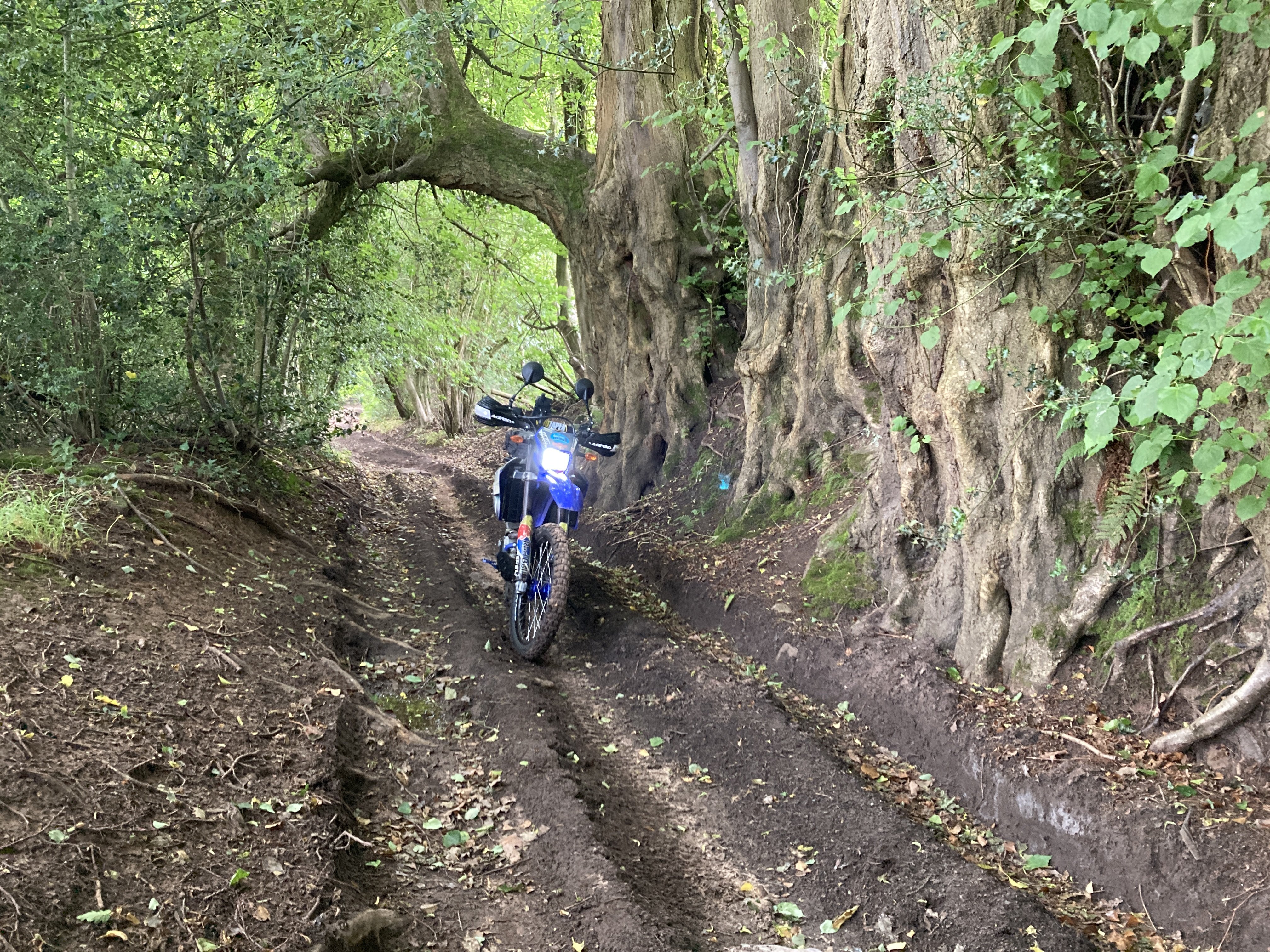
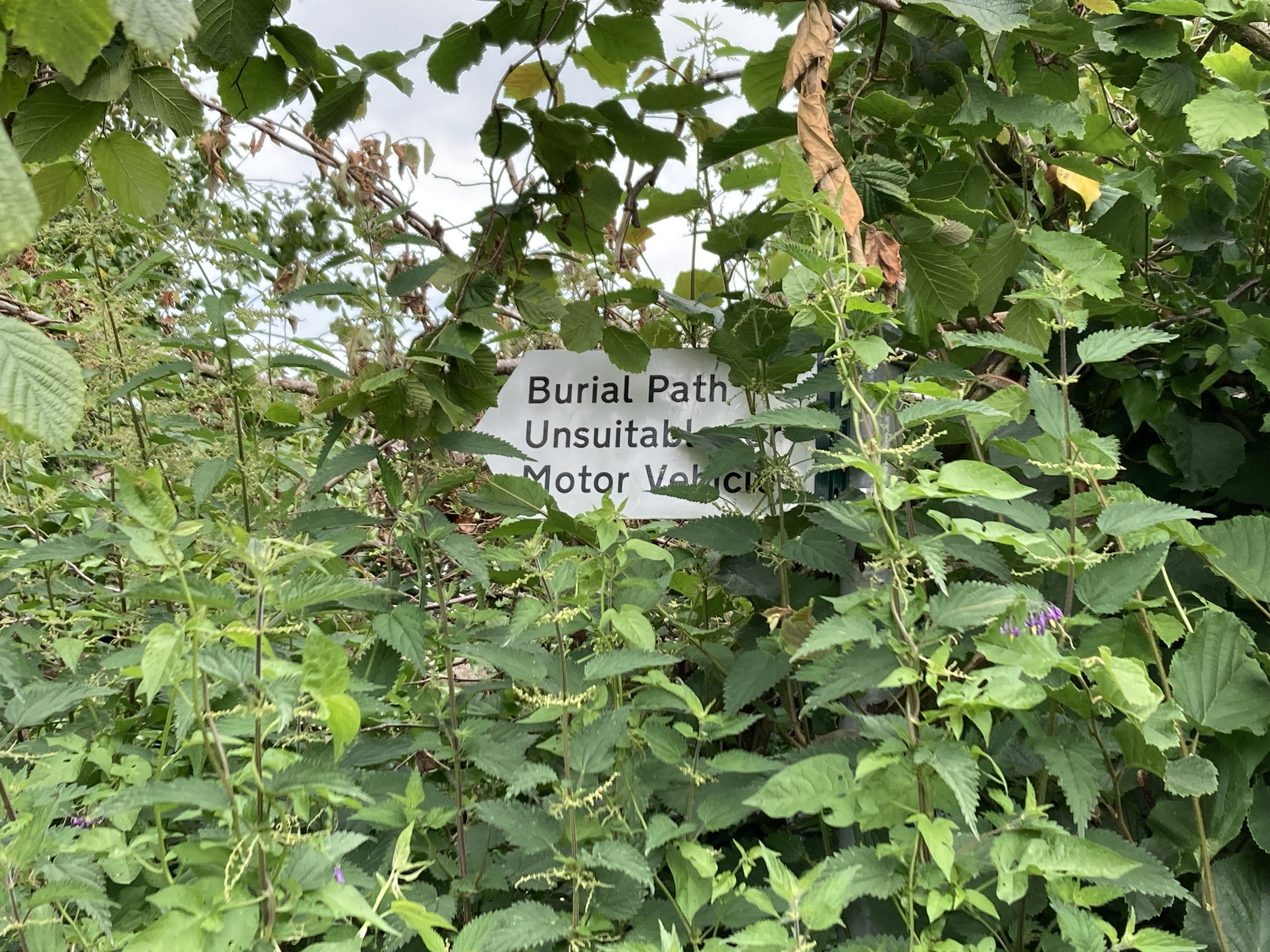
I’m off in a moment to do the Wye Valley lanes but I’m sticking to the English side of the river as the lanes are a bit easier
-
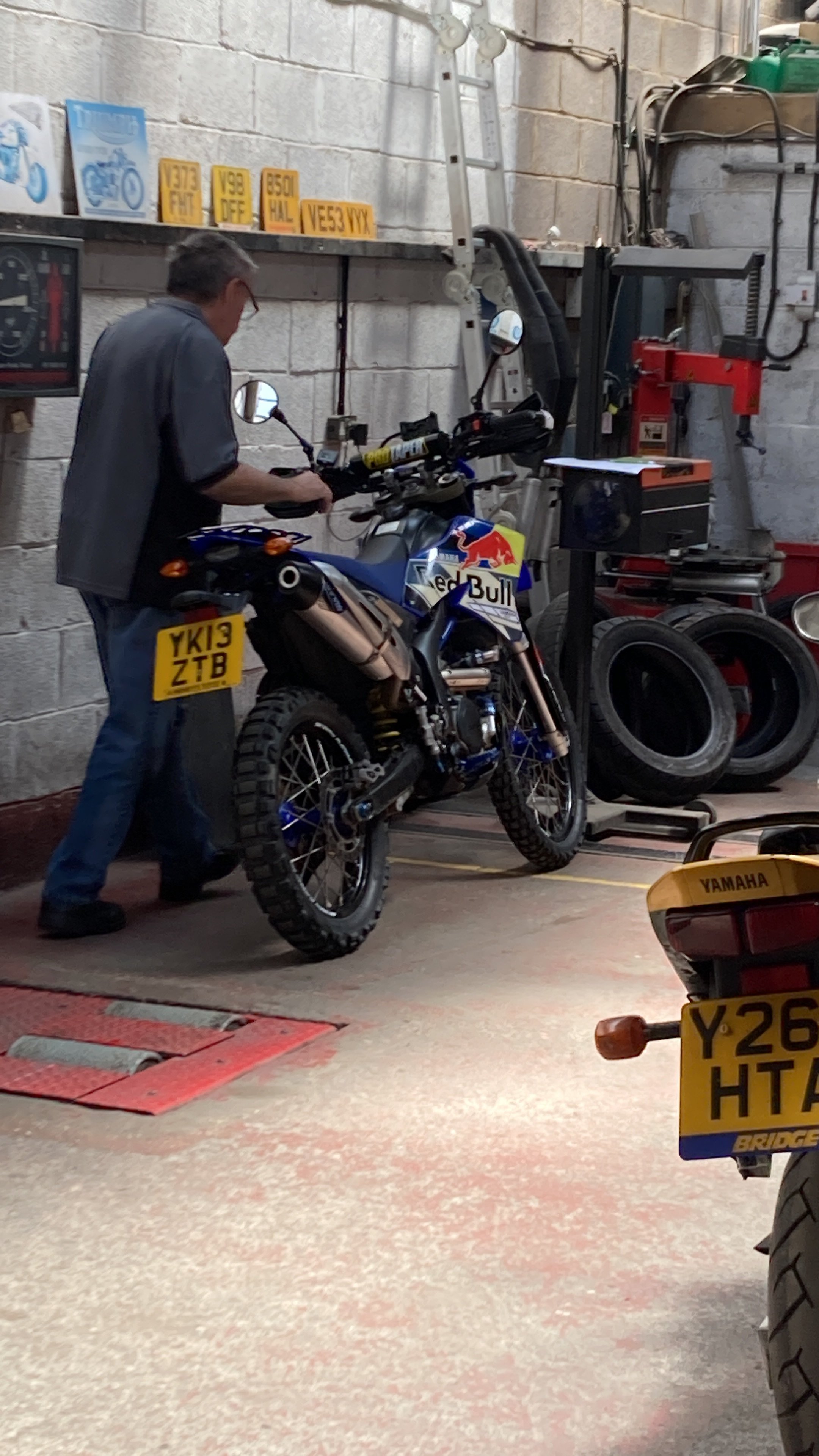
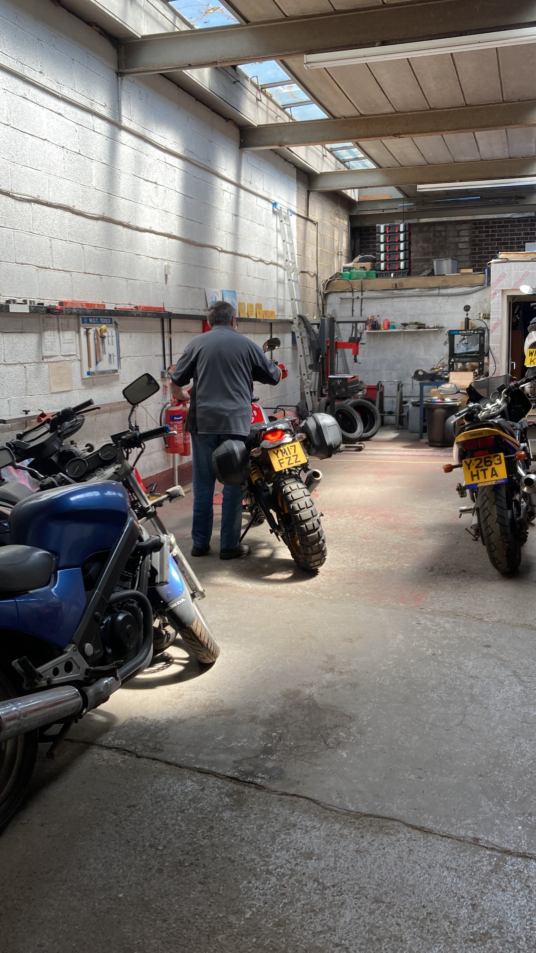
I got two MOT’s done today. First the Yamaha …. and then the Ducati ..,,,, Both passed with no advisories
-
Someone dumped one on Clifton Suspension Bridge last night in a couple of suitcases . Did your bus route take you to Bristol last night .................
-

How Much Power Does the 2024 CFMoto 450NK Make?
boboneleg replied to Hugh Janus's topic in MOTORCYCLE CHAT
Must be revvy then as there isn't a lot of torque, -
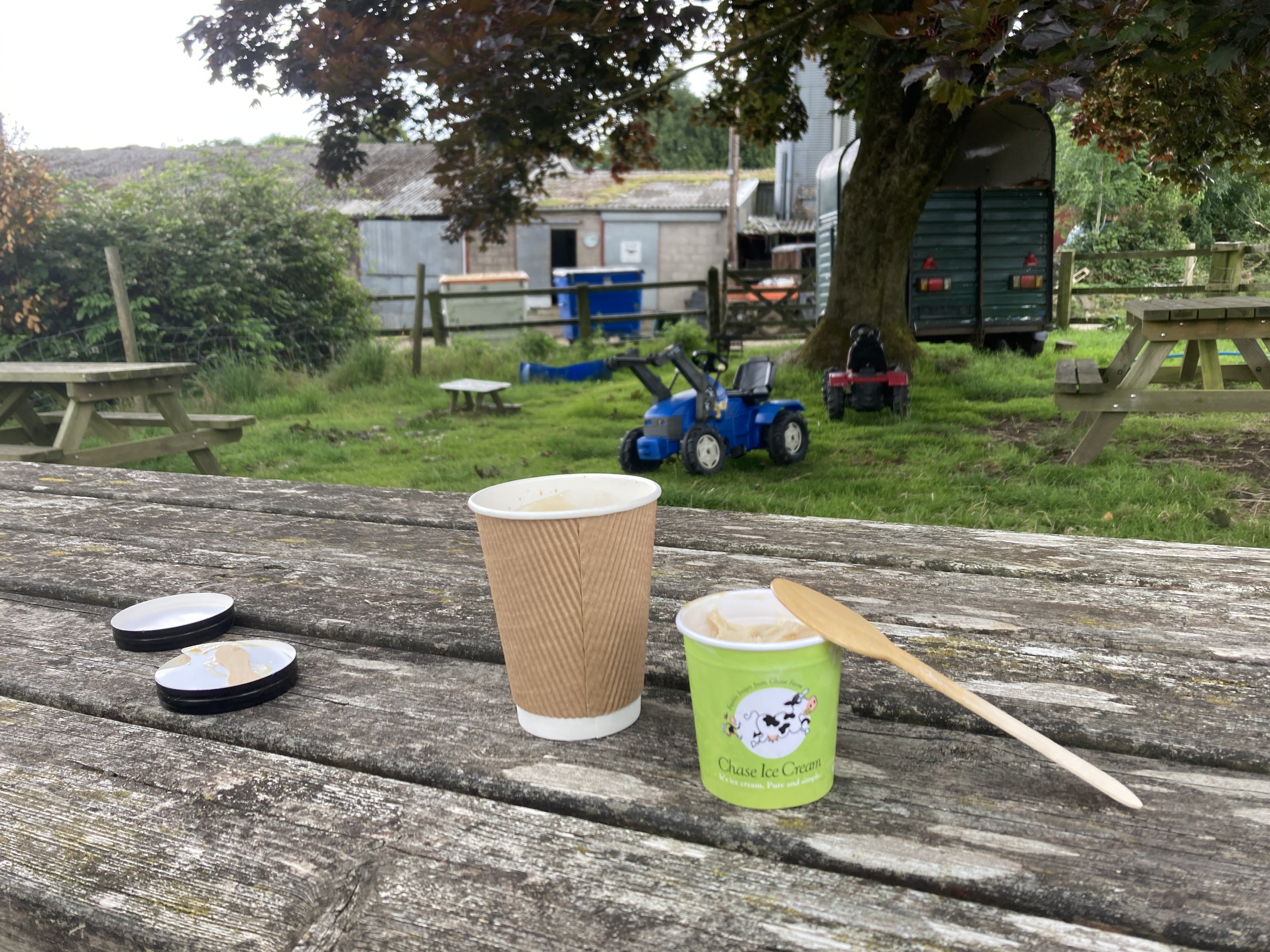
I'm loving the indoor market
-
-
-
It's horses for courses @Marcel le Moose Fondler. if you were on any of your bikes and I was on a Vespa and we had to ride from one side of Bristol to the other I'd kick your ass into touch . Why do think all the delivery boys/girls use scooters ?
-
I've emailed Yen a couple of times now at his work email but no reply .
-
-
Tassels are soooooooooooooooooo 1950's
-
-
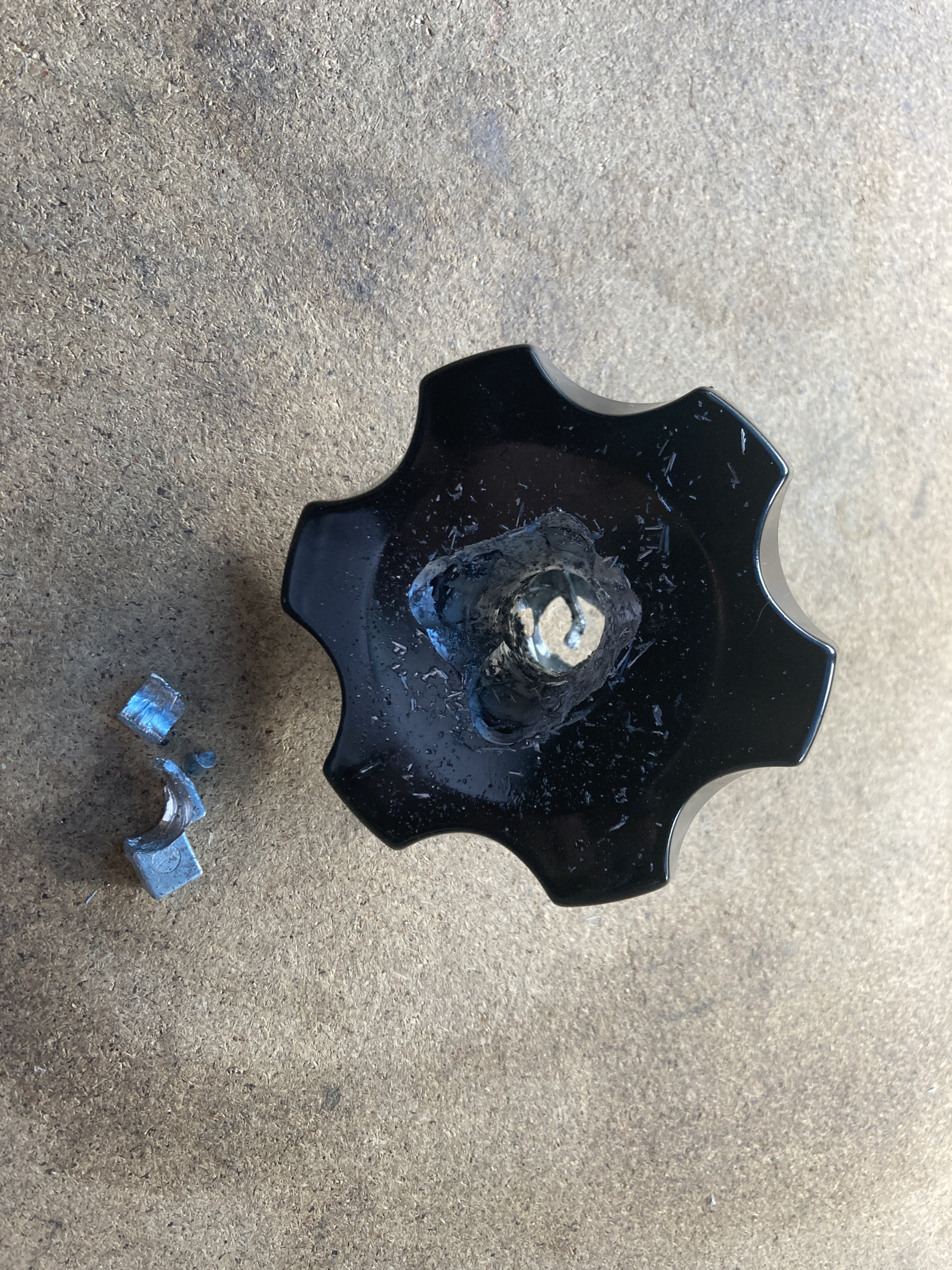
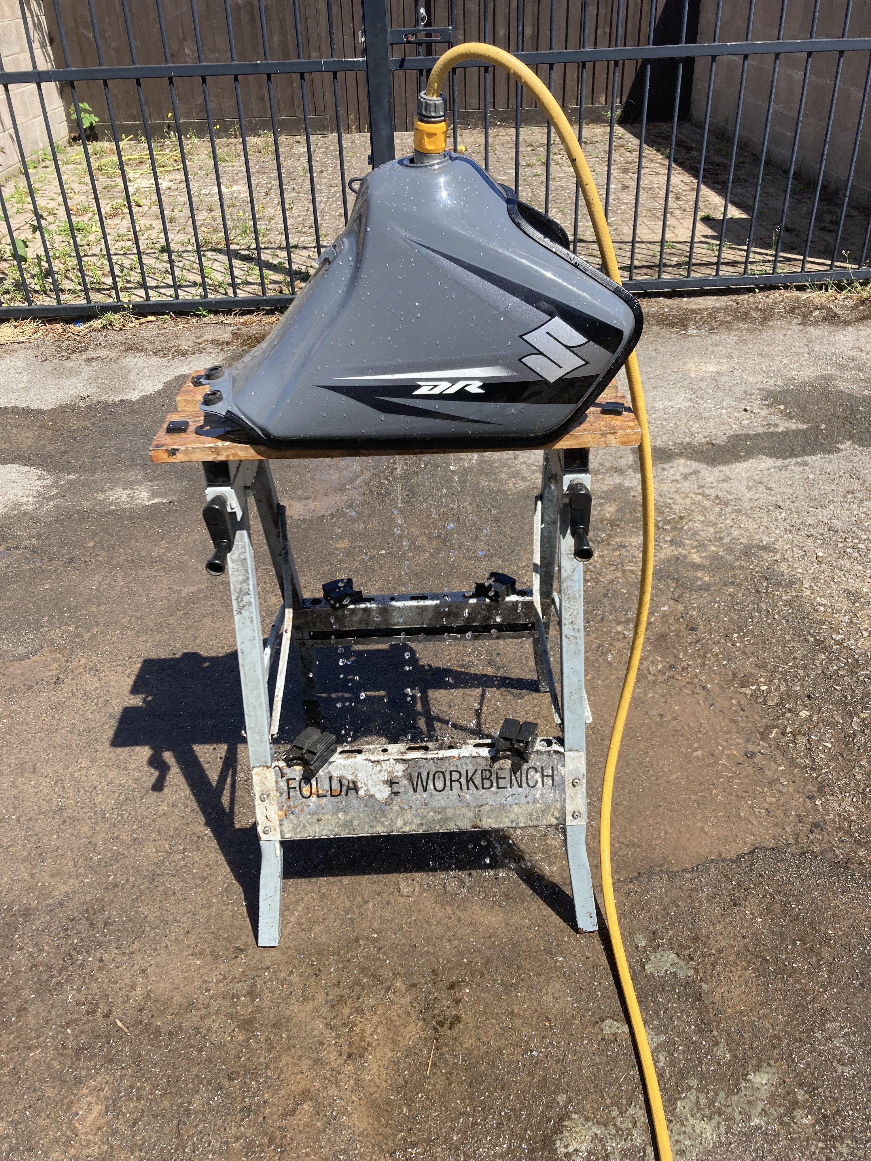
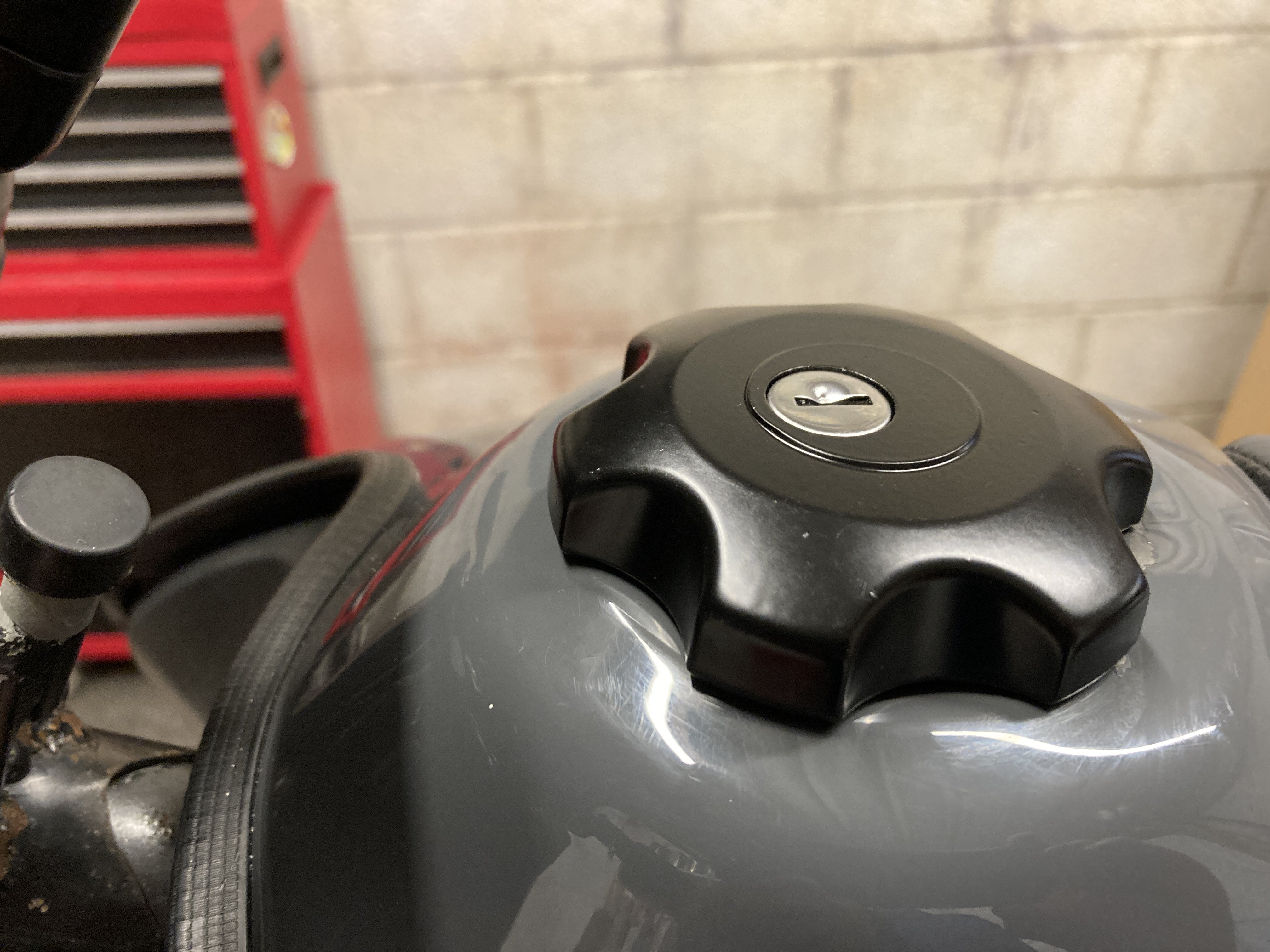
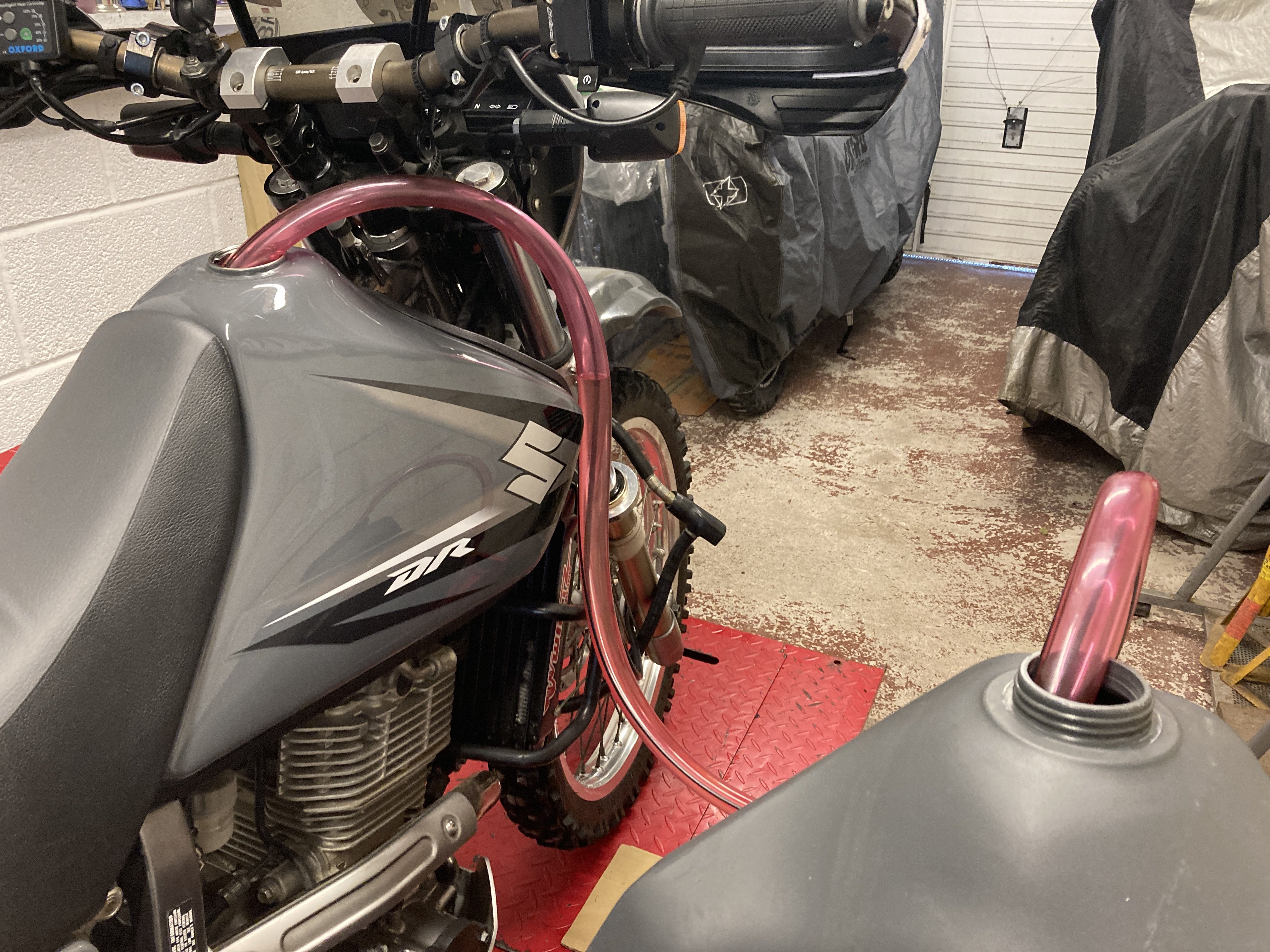
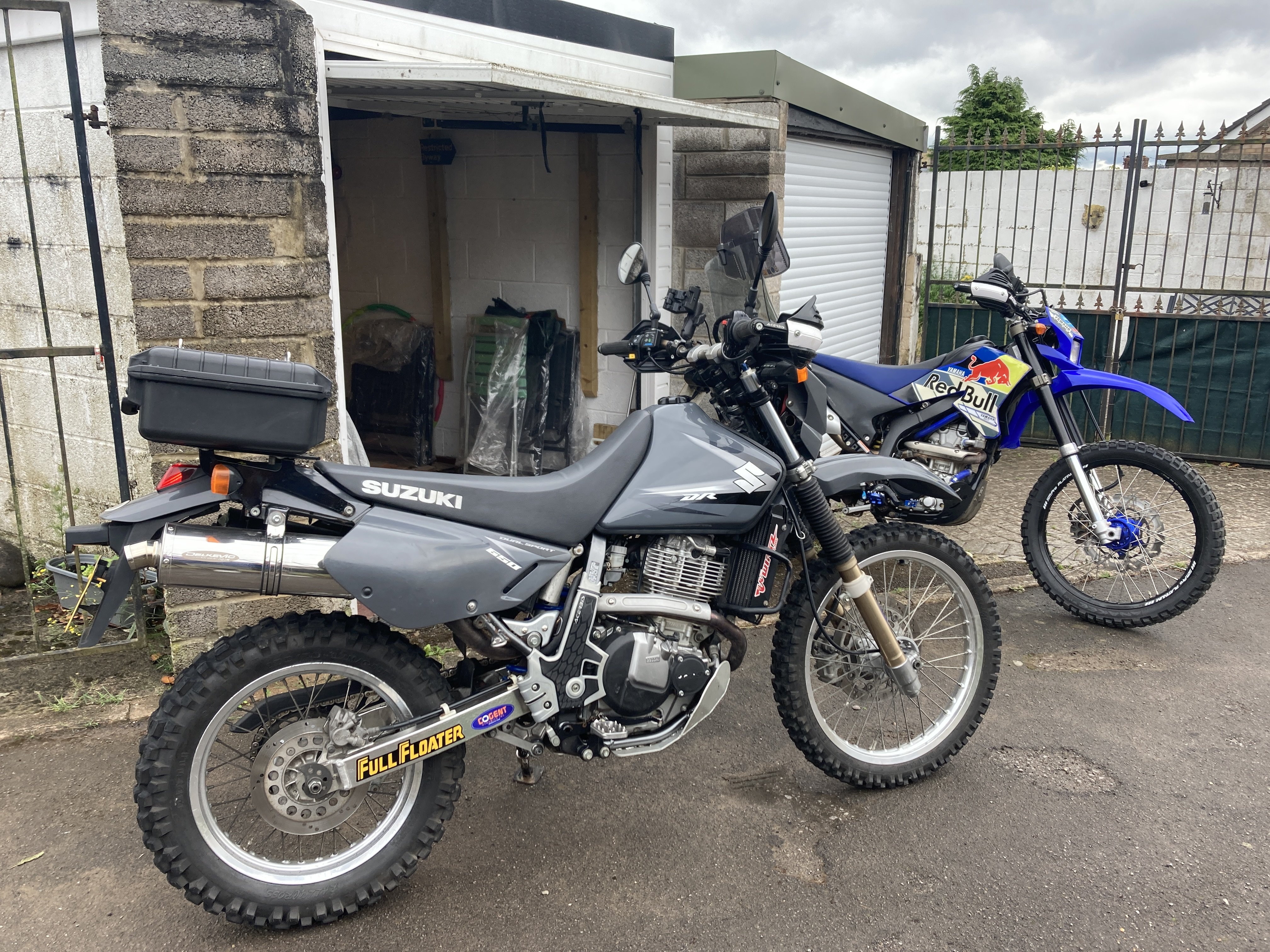
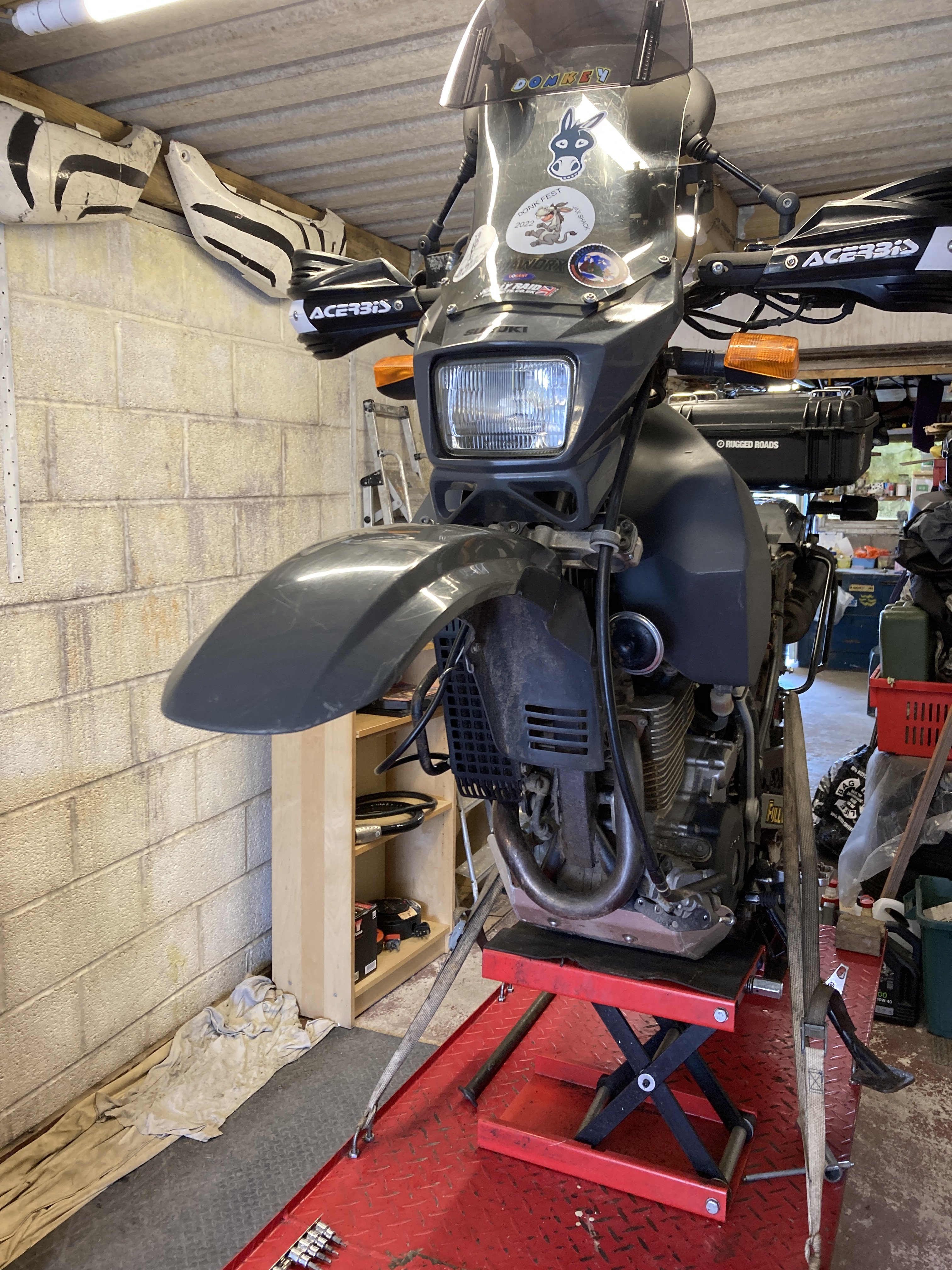
So with the forks back in it was time to see if I could remove anything to shave some weight. First to go was the luggage support rails , I can always fit these back on if I need them later. I dug out the original tank for this bike but it had the locking cap fitted and I never got the keys with the bike. I tried a few tips to remove it but in the end it needed drilling out ........... Then I needed to flush the tank as it had 9 year old fuel in it and now a load of swarf .............. I left the tank to dry out for a couple of days and ordered a new cap , once it arrived I fitted it to the tank. The Suzuki comes with a Mikuni BST carb and a fuel tap that has a vacuum line so I had to block that to get fuel to run from the tank to the carb Johnny Jiggler was employed to run the fuel from the oversize Acerbis tank to the Suzuki item .............. Next I fitted the original side panels in place of the sacrificial panels I'd been using, now it was time for a short run to check everything ................ By time I got the end of the lane the fork seals were leaking which didn't really surprise me, so they came back out and I fitted the Cogent forks by moved them up through the top yoke by 50mm. I will strip the other forks in time now and see what needs repalcing . Today I rode it into work and was well chuffed to find out that it handled fine. I'm chuffed as I really like this bike , it gives good performance for a single and is one of the best carburatting bikes I've ridden .
-
I rode it into work today Pedro, I can flat foot it now and didn't find anything detrimental to the handling . It turns in a bit quicker but feels perfectly stable
-
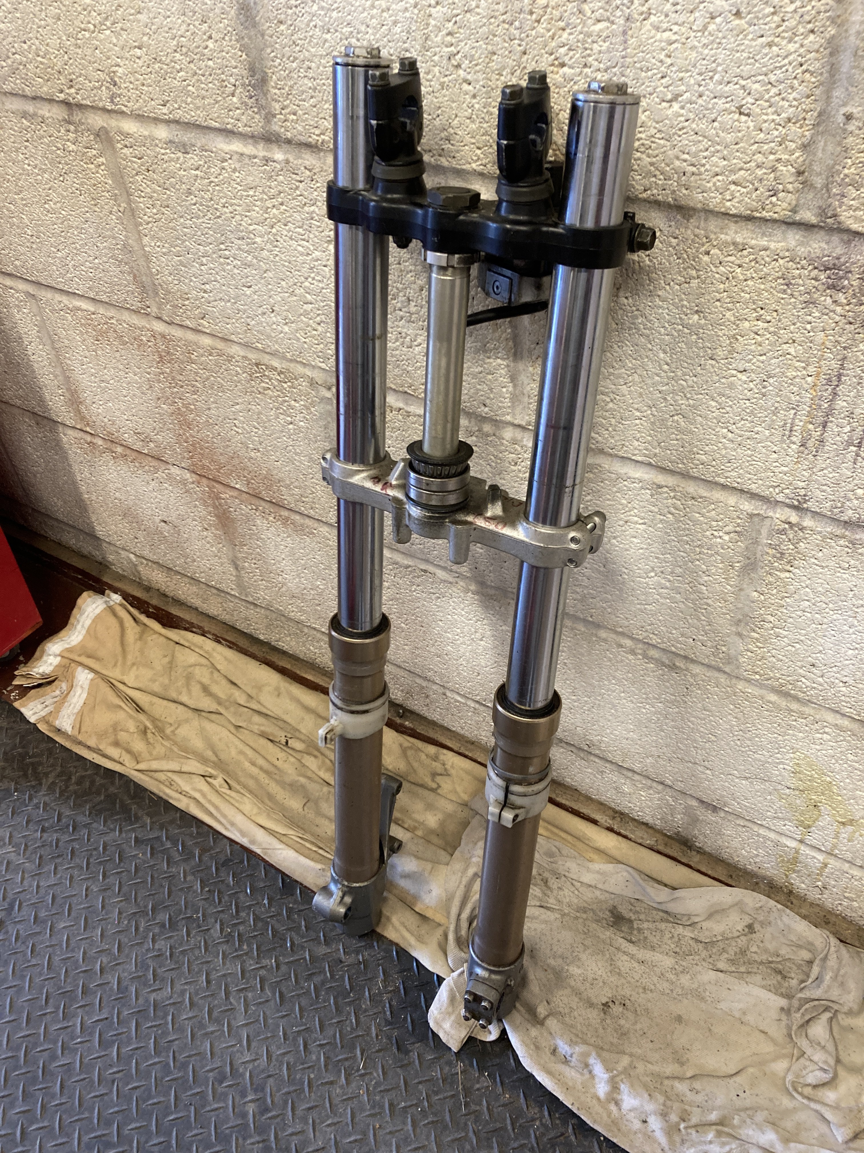
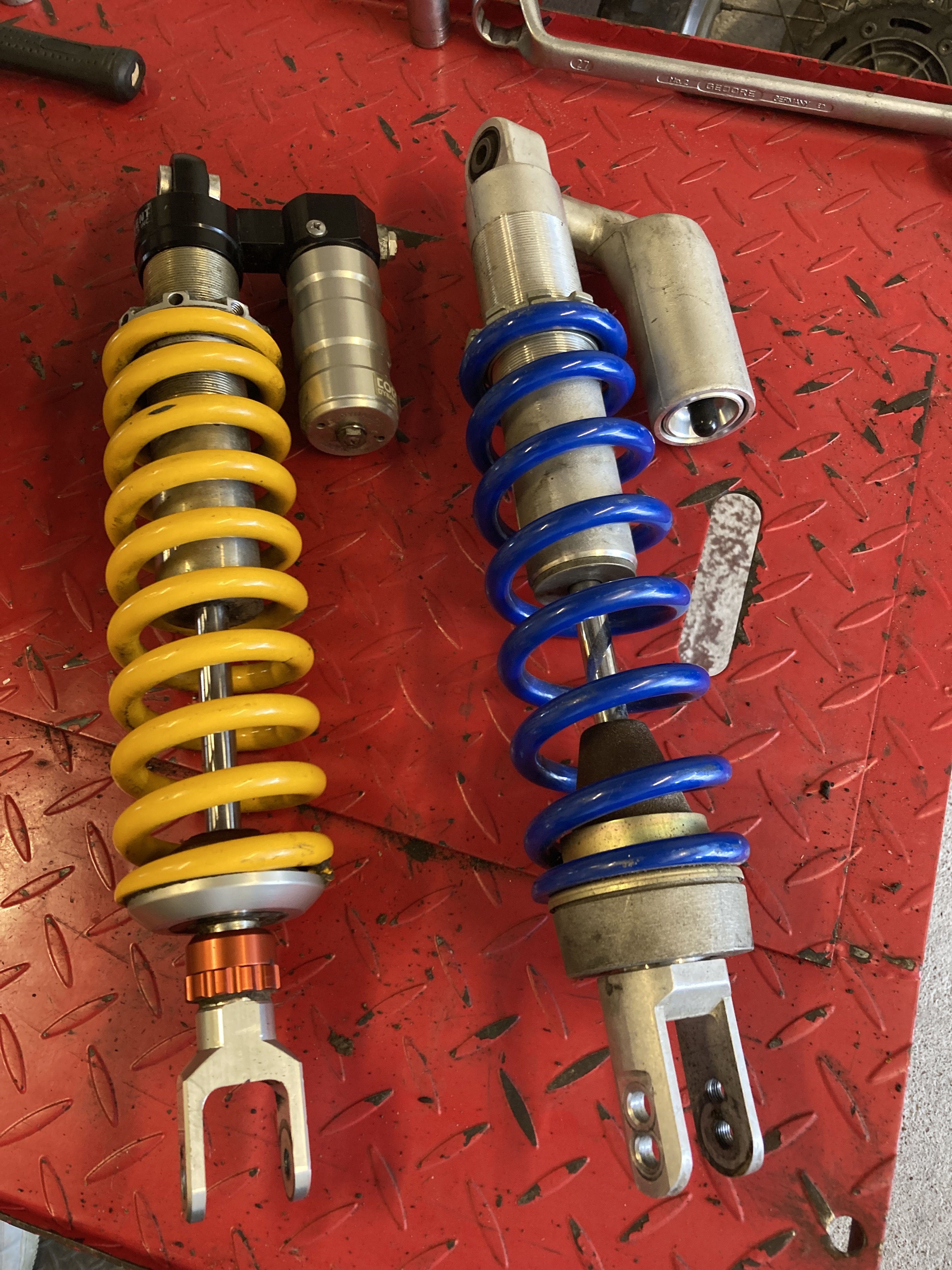
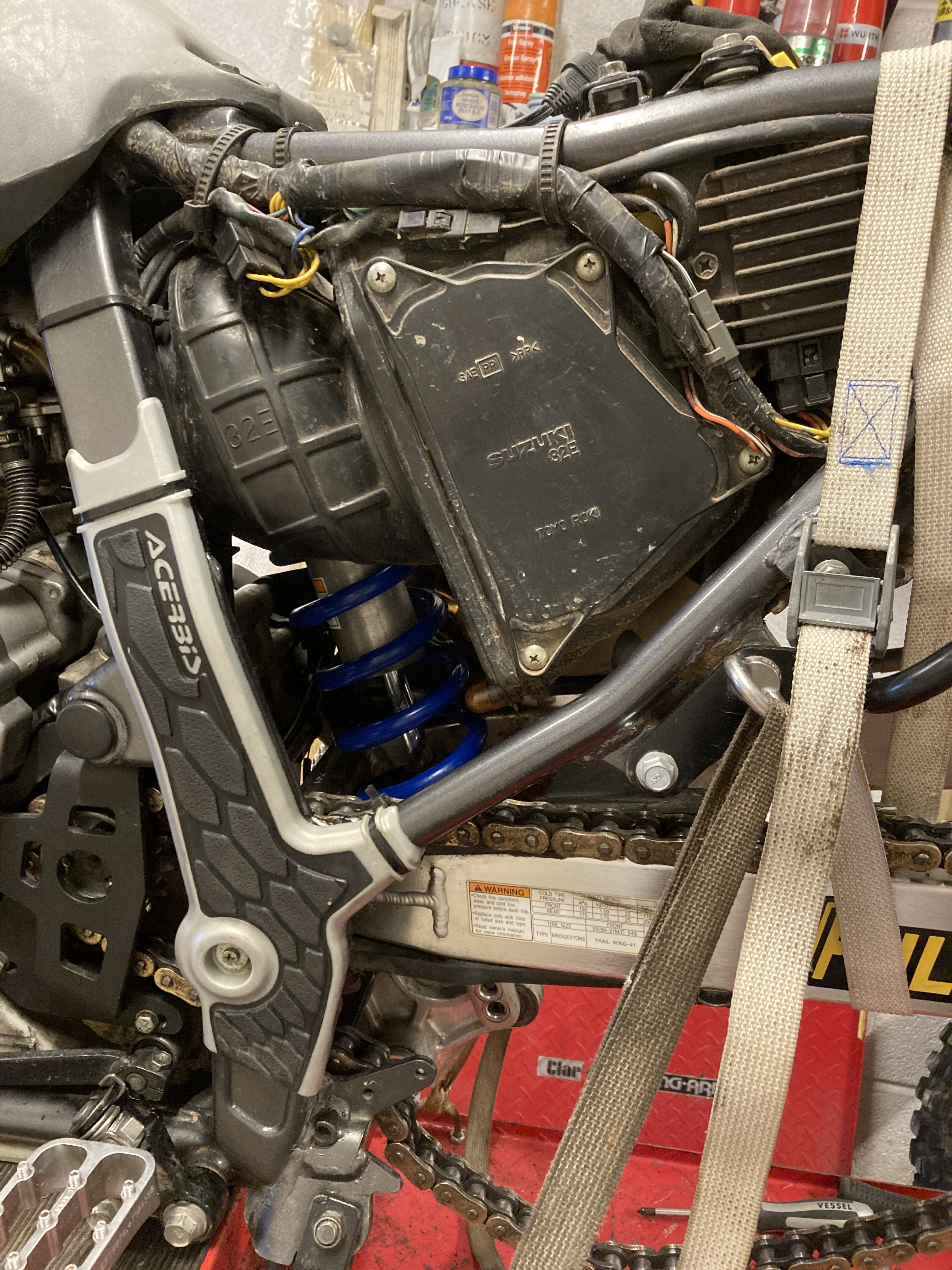
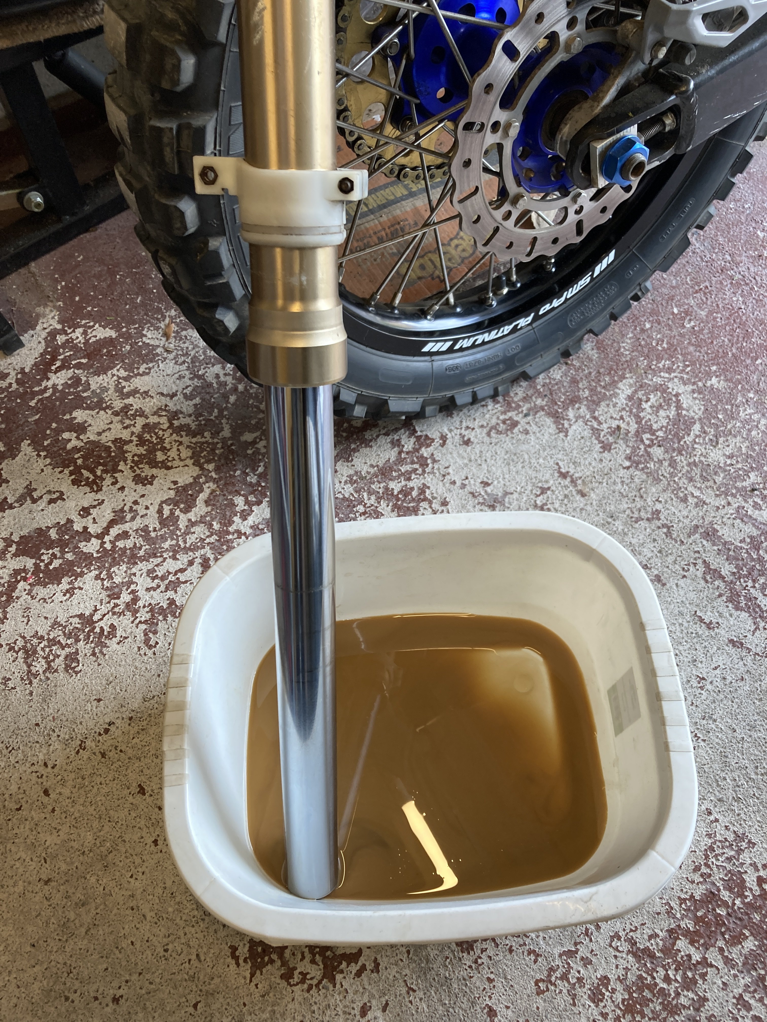
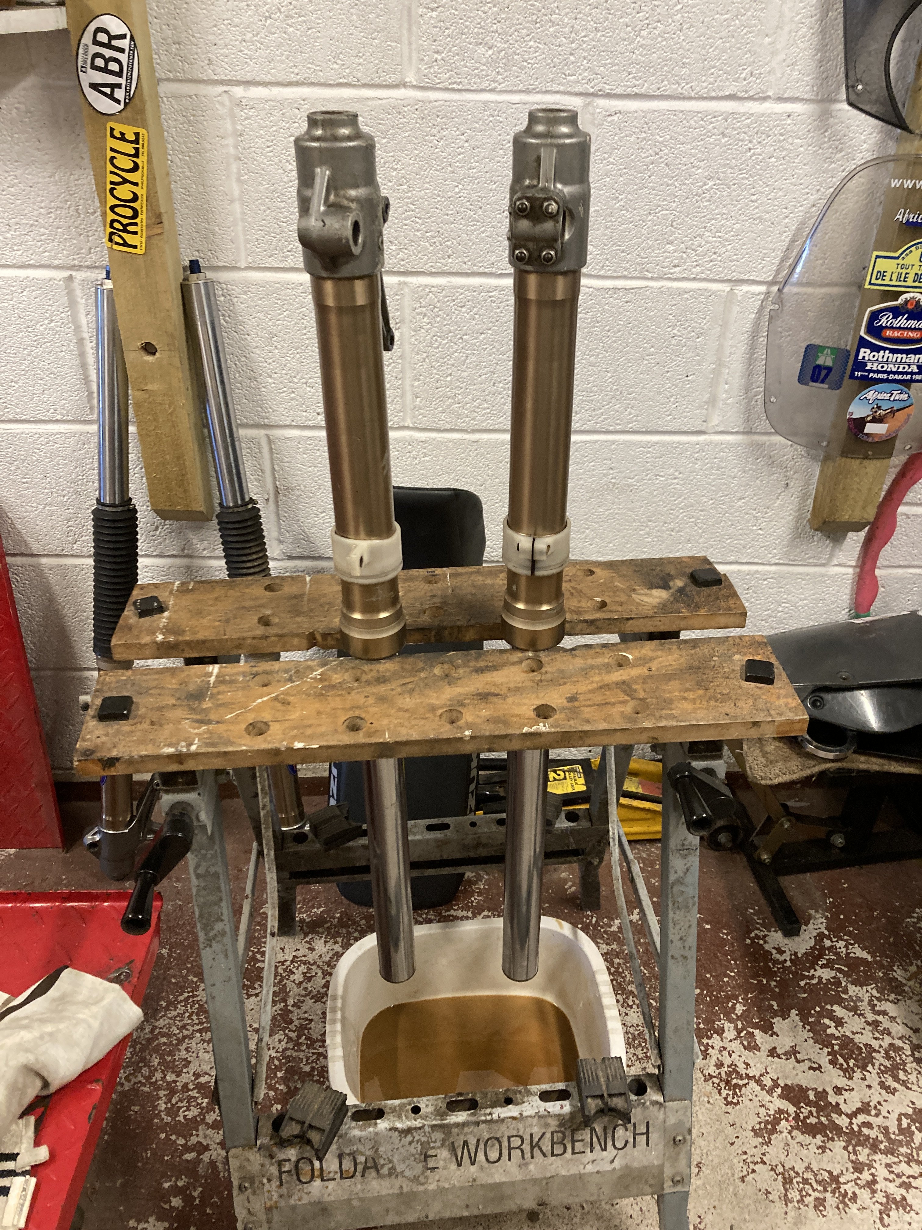
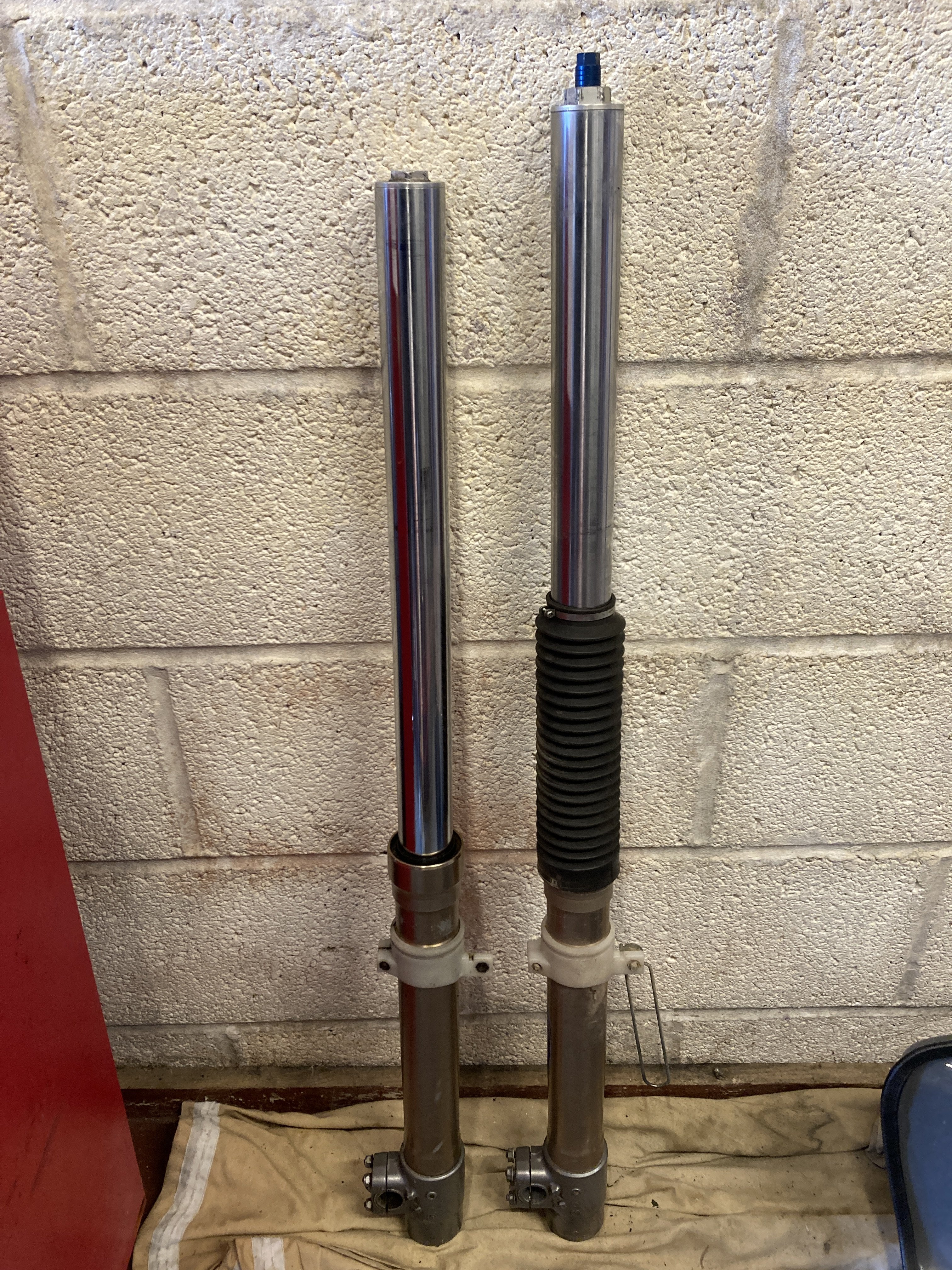
With my recent problems with the height of Miss America due to the Cogent suspension I decided to see what I could do to lower it and shave some weight to see if it would be easier for me to manage . I had a spare front end and a couple of standard Suzuki shocks so I dug them out and made a start ........... The rear shock was fairly easy to do , I just had to remove the rear wheel and shock linkages to make it easier to get out. Cogent shock on the left , Suzuki shock on the right .......... and fitted ............... Next job was to take the forks out .................. I started to drain the forks that I had as spare but the crap that came out was an awful colour , I suppose it wasn't really surprising as these forks have been sat around for 10 years Having seen what came out of them I decided to just flush the forks several times until they were clear . I had some spare fork oil of various weights so I just used that to flush them, I wasn't keen on taking the forks apart at this point so after the flushing I filled them with 10w fork oil and buttoned them up. Look at the difference in the length between the Cogent DDC equipped forks and standard , both are Suzuki ..............
-
It's a gay colour , perhaps it suits you ?
-
The colour is a bit gay
-
-